Mapping and Surveying Solutions
66,00 € Original price was: 66,00 €.5,00 €Current price is: 5,00 €.
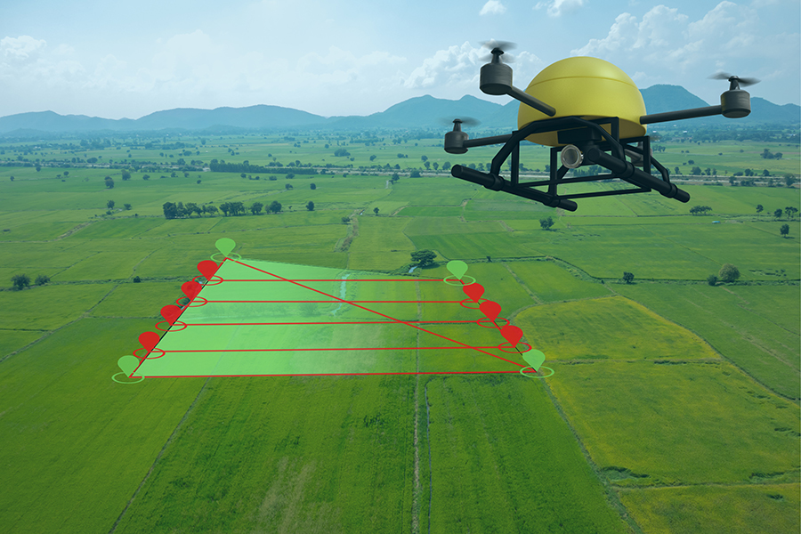
Experience efficient and accurate mapping and surveying solutions with our drone-based services. Utilizing advanced GPS and imaging technology, our drones can quickly and precisely map terrain, collect data, and generate detailed 3D models for various applications.
Description
Experience efficient and accurate mapping and surveying solutions with our drone-based services. Utilizing advanced GPS and imaging technology, our drones can quickly and precisely map terrain, collect data, and generate detailed 3D models for various applications. Whether you require land surveying for construction projects, environmental monitoring, or infrastructure planning, our drone mapping services offer cost-effective and time-saving solutions. Our experienced team ensures reliable results, delivering comprehensive reports and actionable insights to support informed decision-making. From large-scale land surveys to intricate mapping tasks, our drone solutions streamline the process, enabling you to optimize resources and enhance project efficiency.


Reviews
There are no reviews yet.